Call For Data

GeoCENS is seeking new sensor data.  Click here for more info.

Rockyview County using GeoCENS to monitor groundwater
Posted on: November 28, 2012
Read more

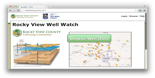
Rockyview county uses GeoCENS to monitor groundwater wells. More than 40 well owners participate the monitoring program, and all data are QA/QC by University of Calgary scientists to ensure the data quality. Check it out .

Citizen scientists use GeoCENS to monitor Golden Eagle populations
Posted on: November 28, 2012
Read more

Eagle Watch, developed with the GeoCENS technology, is being used for the first time this year by Alberta researchers who study the migration of golden eagles. Our EagleWatch platform on UToday. Click here to read more.

Posted on: December 7, 2011

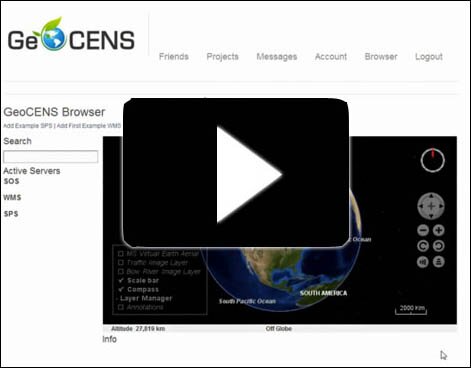
If you are looking to search, contribute or organize your own sensor data through GeoCENS, here is the tutorial video on how to get started: 


We Want Your Data!
Posted on: November 28, 2011
Read more

GeoCENS is always seeking out new datasets to add to its online platform. Currently, the GeoCENS project hosts data from more than 60,000 sensors, 1,750 real-time sensors and 2,800 Web Map Servers - and we want to see those numbers rise!

Also, for those organizations who have large databases, and are interested in using GeoCENS as your data browser and social networking engine, we would like to work with you. Our team can help you to install the sensor web engine that powers GeoCENS within your IT infrastructure.

Please for more details.

GeoCENS / SWE 2011 Sessions for Cybera Summit Announced
Posted on: August 30, 2011
Read more

The final schedule for the GeoCENS / Sensor Web Enablement sessions at the 2011 Cybera Summit is now available. This presentation and workshop will include keynote lectures and a panel discussion on the present state of the sensor web and sensor standards, as well as paper presentations on the Sensor Web System and Visualization, and Sensor Web Ontology and Semantics.
 

Keynote lectures will be delivered by Jie Liu, Sensing and Energy Research Group, Microsoft Research, and Nigel Quinn, HydroEcological Engineering Advanced Decision Support, Lawrence Berkeley. Session panelists will include Carl Reed, Open Geospatial Consortium; Boyan Brodaric, Geological Survey of Canada, Natural Resources Canada; and Ilya Zaslavsky, Spatial Information Systems Laboratory, University of California, San Diego.

To find out more about the GeoCENS sessions, visit the Summit's website.

Registration is still open. Don't miss your chance to join world-class tech enthusiasts in exploring how open, shared and cloud resources are changing the ways we run our businesses and build our communities!

The GeoCENS Beta is Now Online!
Posted on: August 22, 2011
Read more


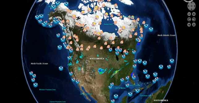
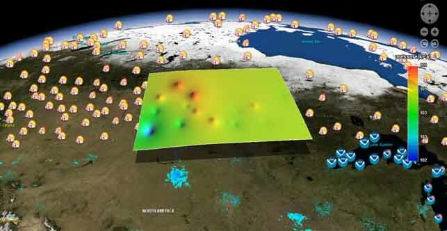
 is online now! GeoCENS is an open standard-based virtual globe sensor web browser. You can navigate the virtual globe to your area of interests, and discover/query sensor readings (both real-time and historical data).!

GeoCENS is funded by CANARIE's (Network-Enabled Platform Program) and Cybera Inc.