Call For Data
GeoCENS is seeking new sensor data. Click here for more info.
Technology Leadership
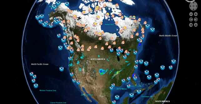
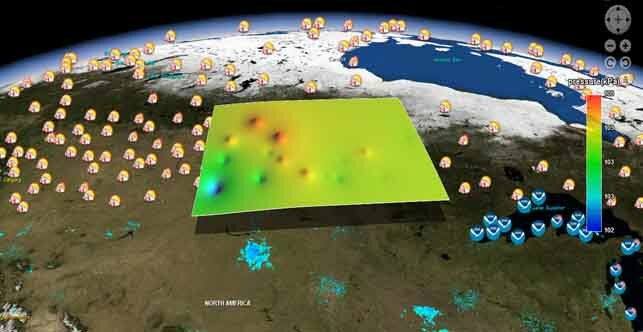
The interactive 3D GeoCENS portal provides access to data from more than 50,000 sensors, 1,750 real-time sensors, and more than 2,000 Web Map Servers. As well as providing the means to visualize and download this data, the project also provides tools to create time series charts.
GeoCENS is funded by CANARIE's (Network-Enabled Platform Program) and Cybera Inc.
 |
 |

