Call For Data
GeoCENS is seeking new sensor data. Click here for more info.
What is GeoCENS?
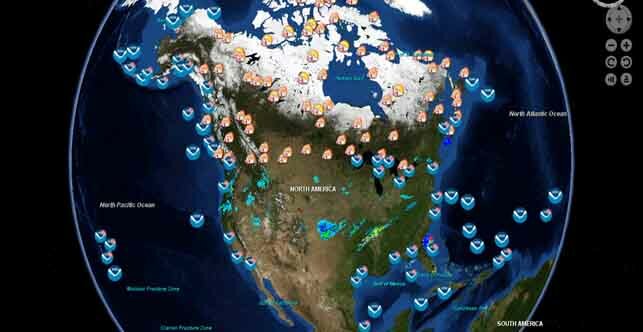
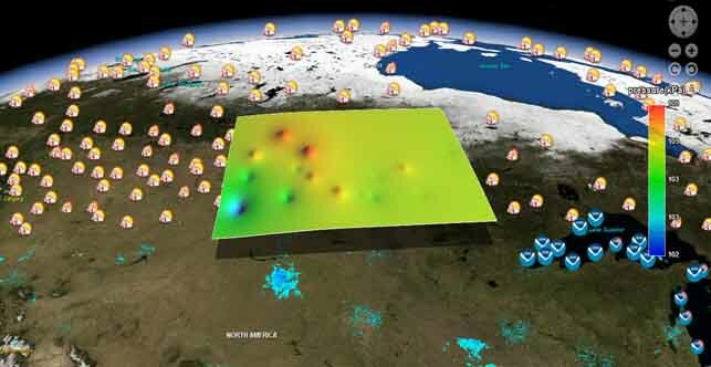
The Geospatial Cyberinfrastructure for Environmental Sensing (GeoCENS) project is a user-driven platform that allows scientists to store and share geoscientific and biological sensor data from anywhere in the world. Scientists rely on ground-based sensor information in order to analyze and monitor changes in all forms of environment, including climate, water, and biological species. Researchers can remotely access, exchange, visualize, analyze and download data sets sourced from international sensors, and satellite imagery.

This nearly $1.1 million project is jointly funded by Cybera Inc. and CANARIE.
GeoCENS is funded by CANARIE's (Network-Enabled Platform Program) and Cybera Inc.
 |
 |

